Apartment

Erice sits on the summit of Monte Erice, 751 m (2,464 ft) above the sea in the province of Trapani in western Sicily, and its cyclopean walls still enclose the town today. Up here you will find a medieval town center of pebbled lanes, two castles and, on a clear day, a view across the salt flats to Trapani and the Egadi Islands.
In Italian the mountain was long known as Monte San Giuliano. Punics, Romans, Arabs and Normans all ruled and built on this peak, and for thousands of years the town has lived through the shifting history of Sicily. Seen from above, the town has the outline of a triangle, probably linked to the ancient cult of Aphrodite, in which the triangle was an important symbol. The wall still marks the edge of town, and the houses stand right at the rim of the rock.
Three well-preserved Norman gates lead in: Porta Spada, Porta Trapani and Porta Carmine. Beyond them, narrow streets paved with pebbles wind past flower-filled courtyards, arches and the many churches that frame the small squares. The garden of the Baglio is a good place to sit for a while.
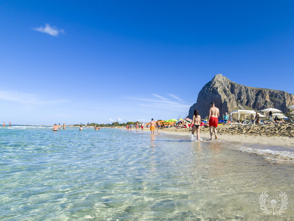
Just inside Porta Trapani stands Chiesa Matrice, the town's most significant building, with a Gothic portal and a separate bell tower, the Campanile. Climb to the top and the view runs over the salt flats to the town of Trapani, out to the Egadi Islands off the western coast and along to San Vito lo Capo and its well-known beach.
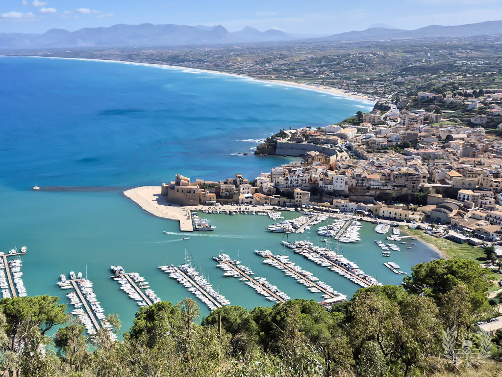
The two castles draw the most visitors. Castello Pepoli dates back to the Arabs. At the far end of town, on the highest point, stands Castello di Venere, a Norman building with prominent towers. It takes its name from the ancient temple of Venus that once stood on the same spot and that, according to legend, was founded by Aeneas. From the towers you look down on Trapani and its harbor, the salt flats and the Egadi Islands. Just below the castle, a house built directly onto the rock catches the eye; Count Agostino Pepoli had it built as a retreat for his studies.
Also worth a visit are Chiesa San Giovanni Battista, Chiesa del Carmine and the Museo Comunale, which displays finds from the Neolithic and from the Punic, Greek and Roman periods. In the northeast of town, parts of a fortress built by the Phoenicians survive. The walk from Piazza S. Giovanni up to the castle on the east side opens up a wide view as well.
Many of the workshops and stores along the lanes hang out the colorful rugs Erice is known for, and the bakeries smell of the town's traditional almond pastries, called ericini.
Since 1963 Erice has been home to the Ettore Majorana Cultural Center, which brings in scholars from around the world, from physicians and legal scholars to historians, philologists, astronomers and chemists. That is where the nickname "City of Science" comes from.
Every summer Erice hosts a festival of medieval and Renaissance music. Musicians from many countries play rarely heard instruments against the backdrop of the old borgo. Check the dates and program before you travel.
Instead of driving the winding road, you can take the Funivia Trapani-Erice from Trapani. The cable car covers nearly 3,000 meters in about ten minutes, with views over the countryside inland on the way up.
Go early in the morning. The lanes are quieter before the day-trip crowds arrive, and the chance of a clear view is best then, since the summit often wraps itself in fog and cloud later in the day. Erice suits travelers who enjoy history and architecture, like exploring on foot and want to see the coast around Trapani from above.

A search on GetYourGuide lists guided tours, tickets and excursions for Erice and the surrounding area.
Advertising link: if a booking is made through this link, Terra Mia Immobiliare receives a commission from GetYourGuide.
The map comes from OpenStreetMap. Loading it sends your IP address to OpenStreetMap.